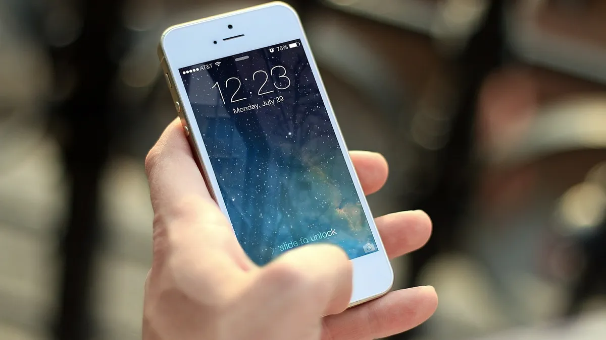
To combat citywide issues, many municipalities have leveraged a tool that a majority of residents already use: the smartphone. Of all mobile phone users in the U.S., 80% own a smartphone and these app-focused devices have served as a springboard for officials to engage with their citizens — on everything from pets to potholes.
Many cities have 311-type apps — some of which were created by SeeClickFix, a company that builds apps with cities in mind — to simplify the process of reporting problems like abandon cars or illegal dumping. These apps also enable communication for all types of people. One study found that lower-income residents and young, college-aged individuals were more likely to use Boston’s 311 app than the traditional phone number or website. For certain disabled residents, app-enabled engagement can help leverage services in a way that wasn't possible before.
Functions are not limited to trash pickups and reporting graffiti, however. Some cities also have bespoke apps, like San Francisco’s water quality app for its beaches and Calgary’s pet adoption app. As cities adopt more sensors and open data platforms, more apps will likely spring up for all sorts of different services. In the meantime, Smart Cities Dive rounded up eight examples of apps that are pushing cities toward smarter futures.
New York: DSNY Info
Earlier this month, the New York City Department of Sanitation (DSNY) launched DSNY Info, an app for smartphones and tablets that allows users to set sanitation service reminders, get updates on weather-related delays and access special event schedules. The app also connects residents with donateNYC, a site that helps New Yorkers donate second-hand items — generally textiles and household — that can be reused. The app also includes tips on how to reduce, reuse and recycle, which pushes New Yorkers to help reach the city’s goal of zero waste to landfills by 2030.
Seattle: Find It, Fix It
Seattle's Find It, Fix It app lets residents report hazards or indecencies like abandoned vehicles, graffiti and potholes to the city. Users simply take photos of the issue straight in the app, write additional details and mark it on a map. According to Seattle Public Utilities' Planning & Program Management Division Director Susan Fife-Ferris, who recently spoke at WasteExpo 2017, this app is just one of many ways the city is gathering data and working toward a transparent exchange of city information.
Boston: BOS:311
Originally called Citizens Connect, BOS:311 debuted in 2009 to make it easier for citizens to report problems to the city. Users can report graffiti, dead animals, illegally parked cars or schedule waste pick ups. The report gets placed on a map that is also accessible in the app. Reports can be shared on social media, and users can also connect with the service by tweeting @BOS311. Over 1 million reports have been submitted by users so far.
Pittsburgh: GO MOBILE PGH
Pittsburgh Parking Authority lets residents and visitors alike pay for parking via their phones. Powered by Parkmobile, drivers can park at spots with GO MOBILE PGH signs and use the app to register their car for the spot and pay for parking. The app lets users set 15-minute parking expiration notifications and even extend parking sessions from the phone until the maximum time is reached.
Columbus: MYCOLUMBUS
MYCOLUMBUS tries to do it all. Along with reporting problems like graffiti and potholes, the app includes a local news feed, links to the city’s social media presence and resources for four mayoral initiative: My Neighborhood, Get Active, Get Green and 311.
The My Neighborhood tab has a list of bus schedules, capital project information, neighborhood pride information and events, health inspections of area restaurants, markets, pools, spas and tattoo parlors. Get Active has information about parks, community centers, golf courses, pools, sports facilities, park and trail guides.
The Get Green initiative tries to encourage sustainable actions with pointers and data, along with information on which local restaurants and businesses are taking part in green practices. The 311 tab offers general functions to submit sightings of eyesores like dumping and graffiti along with an area to lets users sign up for news and alerts.
San Francisco: SFBeaches
Released by the San Francisco Public Utilities Commission, SFBeaches lets users check water quality at their favorite shore spots. Shoreline bacteria are routinely monitored at fifteen different stations in San Francisco year-round. The app shows a map with warnings, including if there are combined sewer overflows (CSOs).
Calgary: City of Calgary Pets
Calgary’s Animal Service in Canada put out City of Calgary Pets to make it easy for locals to find adoptable pets, as well as track down lost cats and dogs. For missing pets, owners can see if their cat or dog is at a shelter waiting to be reunited. There is also a map with where offleashing is allowed, a section to report aggressive animal incidents and a guide to find the closest 24-hour emergency vet clinic. This is just one of 12 apps driven by the city of Calgary.
Atlanta: Cycle Atlanta
Cycle Atlanta was developed with multiple governmental departments and Georgia Tech to track users cycling routes, and lets riders flag potholes and other problems for the city. That data is uploaded to a server that helps inform the city of where people are and aren’t biking, allowing them to focus in on cycling infrastructure — like bike paths — where it’s needed most.


