Dive Brief:
- Sidewalk Labs-backed cloud-based integration platform Coord announced Wednesday a new Surveyor app that allows any iPhone user in the U.S. or Canada to "quickly and accurately collect the position of street features such as parking signs, curb cuts, fire hydrants and other assets at a fraction of the time and cost traditional surveying methods require," according to a blog post.
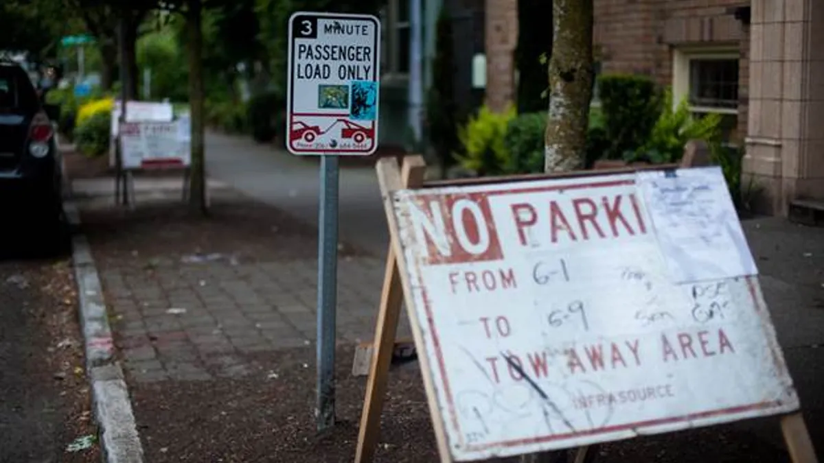
- Traditionally, folks who attempt to "survey" city curb space are tasked with the costly and time-consuming process of manually assessing the streets with a clipboard and pencil to determine locations and details of street signs and curb paint. Coord Surveyor offers users the ability to tap a button in the app, walk down the sidewalk, and take pictures of signs and curb details. The app uses augmented reality (AR) to measure the curb and the locations of the signage.
- Coord aims to give government agencies, transportation consultants, mobility companies and related organizations access to this app with free one-month trials through the end of 2018. "With the growing importance of curbs in our cities, having a digital picture of the curb rules is essential for the future of urban transportation," Coord Head of Product Amit Glazer wrote in the blog post. "That is why we built the Surveyor app and why we’re making it available externally."
Dive Insight:
Curb space today is not what it was a decade ago. City curbs are now an elusive commodity for e-commerce operations and ride-hailing services, not to mention traditional parking needs that cities still grapple with. "The crazy part about all this activity is that, in most American cities today, nobody has a digital record of what the curb rules are at any given time or place," Glazer wrote. "Not the city, not the delivery company, not the ride-hail company, no one. The result: more congested, complicated, inefficient and dangerous streets for anyone trying to get from point A to point B."
By putting such significant efforts into mapping the curb, Coord is hoping to make curb data more accessible and easy to understand, which can in-turn alleviate headaches felt by the transportation agencies and mobility companies that depend on efficient curb space. And by putting out a call for partners to help utilize this Surveyor app, Coord is taking a smart step toward reaching its curb-mapping goal without emptying its pockets.
Coord has worked diligently in its first year to optimize cities' transportation tools and services such as bike-sharing and tolling. When it launched in February, Coord said it hoped to be the "central nervous system for a next-generation transportation system anchored around choice, not around car-ownership," which fits a very common theme in today's smart cities.
Aside from Surveyor, Coord also recently released its Routing API to support trip planning involving both docked and dockless bike-share and public transit. Coord also released a Tolls API, designed to help users calculate the cost of a route by streamlining rate tables for more than 75% of tollways in the continental U.S.


