Editor's Note: The following is a guest post from Radim Cmar, a smart city solution architect at Sygic.
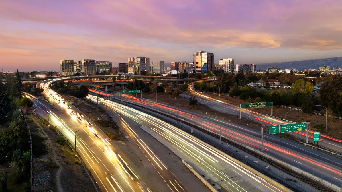
No one likes being stuck in traffic. However, delve into the real impact it has on us, and you’ll come to loathe it. According to the Inrix Global Traffic Scoreboard, the residents of Los Angeles spent an average of 4.25 days in traffic in 2017. Drivers across the U.S. spent 41 hours in traffic on average.
It’s more than just lost time. Waiting in traffic cost Americans almost $305 billion last year, which equates to $1,445 per driver. In addition, cars stuck in traffic contain up to 40% more pollution than those driving on the open road.
Fortunately, in recent years dozens of cities worldwide have attempted to get a leg up. Among them is Dublin in Ireland, which partnered with IBM in 2013 to integrate sensors so city officials could manage traffic in real time. Another example is Los Angeles, which worked with Inrix to use traffic data and GPS to analyze the effectiveness of roadways and highlight problem areas.
But as technology develops, what else could tech companies help cities achieve in coming years? Join us and explore the future trends of smart cities.
Intelligent car navigation
Car navigation tech today tends to cater to each driver individually. It relies on one way data: If route A is full, it will send other drivers via route B.
Now, imagine a solution that could calculate the operational efficiency of each road in real time through the collection of data from many drivers, including public transport. And then, send driver A to use the highway, driver B on a regional road and driver C to go through suburbs. All traffic would be distributed evenly.
But there’s a catch. It requires engagement from local governments and drivers. Cities with its data collecting infrastructure should provide information about traffic signal timing, road sensors, public transport schedules and vehicle positions on the road. Then there are drivers. We need at least 20% of them to participate to properly evaluate all the traffic variables and be able to generate well distributed routes.
We believe that the efforts should be orchestrated by the city. Without its proper involvement and comprehensive plan, there isn’t much we can do. We already mentioned smart infrastructure. But we also need to engage citizens. To create one, we also need to motivate them as to why they should sometimes take the seemingly ‘worse’ route for the greater good. The key lies in gamification and incentives.
In Singapore and Sao Paulo, for example, California-based company Urban Engines used data from ‘metro cards’ and GPS technology to model travel routes of residents. An incentive program was then developed so that if people traveled on public transport outside of rush hour, they’d earn points or prizes. This resulted in a drop of 7-13% in travel during peak times in both cities.
Driving safety
For the second consecutive year, more than 40,000 people died in vehicle-related crashes on U.S. roads. That’s up 6% from 2015 according to the National Safety Council. While some say autonomous vehicles (AVs) could curb road fatalities, smart sensors and GPS technology could potentially do so as well.
Soon, car detectors in combination with map information could recognize dangerous driving behavior, such as excessive braking, acceleration, or going too fast around a sharp curve. The drivers themselves would be alerted to be more careful, however since the app is GPS-based, this information could also be sent to other drivers on the road. It would warn them about risky drivers nearby, or even letting roadside units know there’s a car on the brink of breaking down up ahead.
So, how close are we to that goal? Well, we’d need to have a 5G network to be able to exchange messages in real time. Road-side units installed on the road infrastructure, and the cars equipped with the appropriate detection hardware. Thus, the adoption of this technology requires a synergy of several stakeholders: the city, mobile operators, and car manufacturers. This is already happening, and is known as the Vehicle to Infrastructure (V2I) or Vehicle Infrastructure Integration (VII) concept. There are several C-ROADS pilot projects following the CODECS initiative testing V2I technology on a few highway corridors across Europe.
Alternatively, mobile applications could feature sensor technology to detect driving behavior, too, and join this emerging V2I standardization. It could contribute with its though limited capabilities, but on the other side have a large penetration rate, making the transition to V2I smoother. Cities could motivate the app providers to exchange the information with a city data platform for mutual benefits.
Smart all-in-one mobility applications
To get around in most cities, the mobility app might be the best option to consider. They offer various means of transport including driving options, cycling, walking or public transportation. Citymapper, Moovit, Transit or Here WeGo, for example, enlist modality transportation choices, however with minimum integration and not exploiting full local information.
The app could integrate all existing city transport services, and offer passengers the choice between attractive alternatives tailored to their personal needs. Is it a good time to travel by car? Or should you take public transport, taxi, bike, or ride-share? What is the best departure time? It should integrate additional functions such as buying tickets, making a parking reservation, and navigating drivers directly to the reserved parking space.
Soon, advanced apps may offer multi-modal routes. What that means is that you may start with a car-sharing service, which will drop you in front of the zone of traffic jams. Just close enough so you can use public transport or bike sharing services to get to point B. At the same time, you could pay or use the app for all the services, possibly bundled within a monthly payment mobility plan.
You can see a glimpse of such a future in Helsinki, Finland, where Whim offers mobility as a subscription service. You pay a monthly fee, which gives you access to a combination of all transportation services in the city. Currently, it is used by more than 45,000 users and is quickly becoming the most viable form of transportation in the region. The U.S. would benefit significantly from a similar approach.
The reason why there are no more successful apps working in other parts of the world, is that in different cities’ data and services come in many forms and interfaces. This makes it hard for app developers to provide an all-in-one solution.
A city could step up and provide a solution with its own data and payment platform. The city then could partner with app developers, who would be able to provide complex and meaningful services. That way, the city becomes strong enough to influence app designs and to implement or reinforce desired transportation policies, executing the so-called city master plan.
Conclusion
Mobility is a huge and growing challenge for many cities worldwide. If there were one word to best describe the solution, it would be synergy. Municipalities, car manufacturers, mobile operators, drivers, and tech companies developing mobility apps would have to synergize for a coherent end result.
From the city, we would expect to collect all the necessary data and make it available in a transparent way. Car manufacturers should focus on data exchange and car connectivity issues, while commuters would have to evolve into smart commuters. Not relying on just one form of transport, and willing to sacrifice their convenience for the greater good.
In the end, there are tech companies willing to use their expertise to help city residents. What might help, for example, is if all of us would start to use joint communication protocols. The goal is to exchange part of the data with cities for a future with more fluent mobility.


