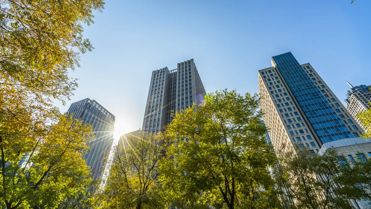
Nearly 350 cities worldwide can now access Google's free Tree Canopy tool, which maps urban tree cover, the tech company announced in a blog post March 29. Previously available in 14 cities, the tool now covers cities including Atlanta and Baltimore.
The tool aims to help cities “understand their current tree coverage and better plan urban forestry initiatives,” according to Google’s blog post. The company plans to expand the tool to thousands more cities this year.
Trees bring city dwellers a slew of benefits: They absorb planet-warming carbon dioxide, can improve people’s mental health, provide shade and cool the surrounding air. But the benefits are not distributed equitably, with lower-income areas often having less tree cover and hotter average temperatures.
Google’s Tree Canopy tool is built with the same underlying information it uses for Google Maps, using machine learning and aerial imagery to estimate how dense a neighborhood's tree cover is. First launched in 2020, Tree Canopy is one of a suite of tools available through the tech giant’s Environmental Insights Explorer, which also provides estimates of greenhouse gas emissions and solar energy potential of buildings in a region.
“By surfacing environmental information in a robust platform free of charge, we aim to serve decision makers and researchers working on these issues and solutions for cities globally,” Google said.
Lessons from early adopters
Leaders from Austin, Texas, and Chicago, among the first cities to use the tool, say they found Google’s tree canopy data to be mostly accurate.
The data aligns with information Austin collected itself, said Marc Coudert, the city’s climate resilience and adaptation manager, in an interview. “Satellite data is hard to refute because we notice familiar objects, and we can sort of understand that it's real.”
According to Google, Tree Canopy may not match up with a city’s data due to factors such as the date the aerial imagery was taken, different versions of city boundaries and errors by the company’s machine learning system.
Austin and Chicago have found the tool most effective to empower and engage community members by connecting them with easily accessible, understandable data, leaders from those cities said.
In Chicago, Tree Canopy helps community “tree ambassadors” focus outreach efforts and quickly identify where they can most productively request trees on behalf of residents, said Raed Mansour, director of environmental innovation at the Chicago Department of Public Health, in an interview. Google’s downloadable tree canopy data can also help community organizations develop programming or apply for grants, he said.
“If you’re not connecting it to community members, then it’s not a very useful tool,” Austin’s Coudert said. He added that cities should complement the tool with additional sensors in communities to track heat, humidity and air quality.
Coudert advises cities to use the tool as “a public discussion point” while also doing their due diligence to better understand climate change’s health impacts in low-income communities.
“It's a wonderful tool, but it's not the only tool,” he said.
As tech improves, so can urban tree efforts
A tool like Tree Canopy can be useful for cities to understand how trees are spatially distributed, but it’s not as detailed as a tree inventory, said Jacob Napieralski, a geology professor at the University of Michigan-Dearborn, in an interview.
A tree inventory includes granular data about each tree, such as its age and species, which can be useful for cities considering species diversity and which trees to plant in the face of climate change, he said. However, tree inventories are often expensive, time-consuming endeavors that require “systematically going through boots on the ground,” Napieralski said.
New technologies could change how cities obtain information about trees, he said, suggesting they could crowd-source the information through apps that allow users to discover a tree’s species by scanning a leaf. As technologies further improve, cities increasingly will be able to maintain up-to-date information about their trees, he said.
Tools that allow cities to understand and address tree-related issues should be as common as those that allow them to identify and fix potholes in the road, Napieralski said. “We should have that same sort of responsiveness to trees.”


