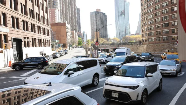
Louisville, KY has positioned itself as a rising star in the smart city landscape this year. Not only has the city launched the LouisLab and promoted greening opportunities, but it is also focusing on successfully optimizing the backbone of its landscape: transportation.
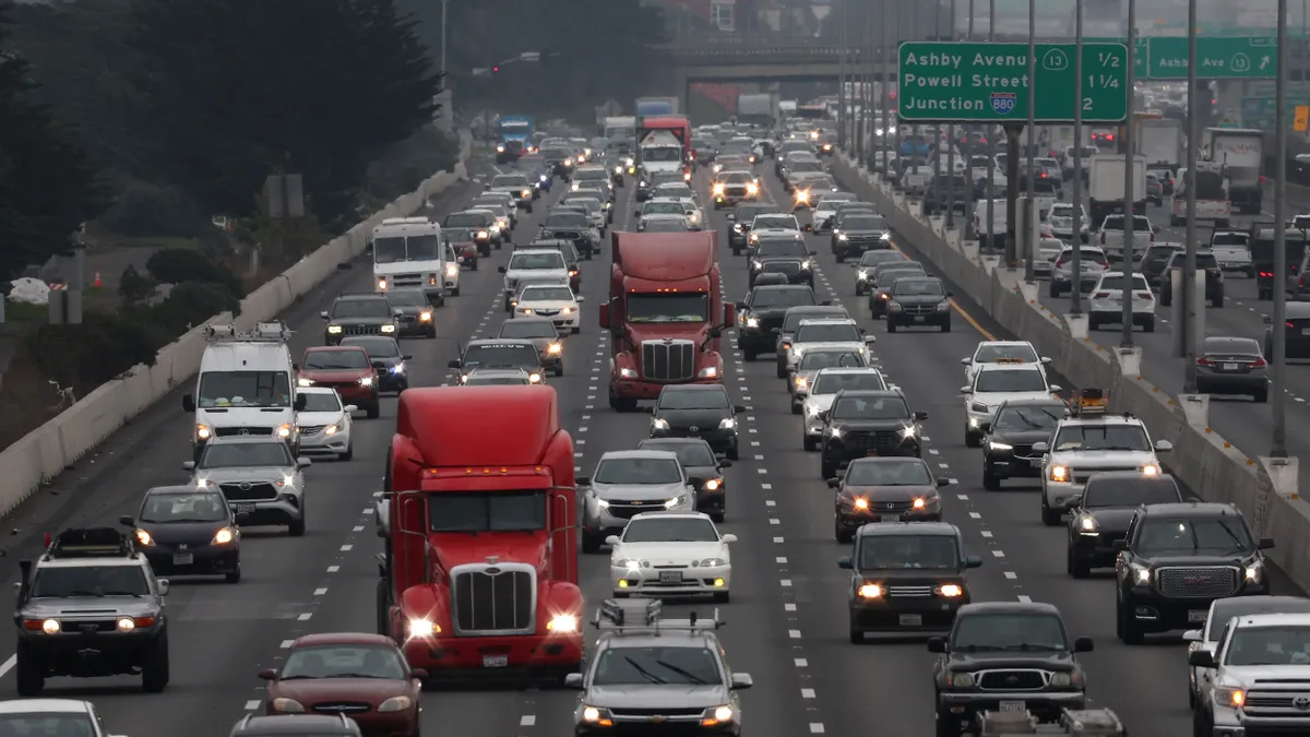
As a part of the proposed Imagine Louisville initiative, Louisville is focusing on how to best collect traffic data — primarily through a partnership with Waze — and use that data to develop congestion solutions, rewrite budgets and rollout new technologies. The city applied for Amazon Web Service's (AWS) City on a Cloud challenge in May and won the "Dream Big Award" for its "next generation adaptive traffic flow management system that can sense detrimental systemic changes to the circulatory nature of traffic and automatically adjust city infrastructure to mitigate the impact." The city received AWS promotional credits to continue its project using AWS's cloud service. From now until spring 2018, Louisville will load Waze, 311 and other data sets to the AWS cloud, then will begin mining that data for transit insights.
In a September interview with Smart Cities Dive, Louisville Data Officer Michael Schnuerle discussed how he and Innovation Project Manager Edward Blayney have been running the initiative.
SMART CITIES DIVE: Tell me a bit about the project and what you do.
MICHAEL SCHNUERLE: There's a need for centralized information about our city from all aspects, not just things like signals and car-related vehicle data, but also transit data, pedestrian information, all sorts of stuff. Right now there's no central location where all that stuff is stored and shared. We collect some of that and other external partners outside of the city collect different parts of it — like regional transit agency and even the Kentucky State Department of Transportation — and then we have some other people that do camera networks and things like that. So this project is a way to centralize all that into an AWS traffic data warehouse, as we're calling it.
First step is to provide that data and those insights to the traffic team so that they can make better decisions about corridors in need and other ways we can improve the flow of people around the city. But also we're laying out a network of city-owned gigabit fiber and we need a place to store that data coming in as we hook up more and more signals and sensors to our own network. Most of them will be related to either traffic, transit or public safety. So those sorts of feeds and data will be coming into the same warehouse and then the ultimate goal is to automate things like signal timings based on real-time traffic flow and optimize the flow of cars but also buses, emergency vehicles [and] pedestrians using the data that's coming into the system.
How long has this project been going on?
SCHNUERLE: So we talked about it for a while and we basically created a pilot phase of it for a few months and we started with Waze data — so we have a partnership with Waze, like many cities — but we process that data into an internal database and mine that for information about speeds and jams and events. We started that about two years ago, but it kind of hit its stride about nine months ago. Then we applied for the Amazon City on a Cloud grant, and then it was around this idea of continuing that and adding in all the other information and optimizing it. We knew we won the award, I think it was early July, and then we got the credit [around] early September. And so that's when we really started to kick off the project.
Can you talk a little bit about how Amazon's involvement has helped [this initiative]?
SCHNUERLE: The main way is that we have an extensible bucket of tools that Amazon provides in the cloud that are flexible and expandable and that we can use the right combination of those tools to funnel the data we need in easily. If we were doing that internally, like we did with the Waze data, we're limited by staff time and maintenance of those servers and there's a cost there as well for maintenance and software licenses. And we're mostly a Microsoft shop internally. So that does lend to some extra cost as opposed to using more open-source tools. So it just basically speeds our development process along and reduces the overall cost of deploying the system versus doing it internally.
How involved are residents in this? Are they aware of data being collected or are you asking them to help out?
SCHNUERLE: They're aware of the overall project, the goals. Our proposal that we sent to Amazon, parts of it at least are online on their site and we've done press releases about it. As of right now, I don't think we're at the phase yet where we'd be able to start collecting citizen data. We do collect it through Waze indirectly and through citizen movement, like for instance on our buses, we know ridership per bus per segment per day and that sort of stuff. Just by the citizens using our transit options we get some of that data, but we don't have any sort of proactive or other pathway to collect citizen data. Once we get the warehouse set up there might be a possibility there for something like that.
What advice do you have for other cities that are hoping to work on a similar project, or just better collect and understand data, specifically around transit?
SCHNUERLE: I'm the data officer so my specialty isn't transit in particular, but having worked with the Waze data that any city can sign up for, looking at that data and mining it for information, citizen reports, travel speeds, all sorts of things, is really valuable and shouldn't be overlooked. I know many cities haven't even started the process of looking at that data, they just are collecting it without looking at it because it is a bit cumbersome to process. Part of this project actually, when we get the Waze data ingested into AWS, we want to publish our code or our cloud formation template online so that other cities can replicate this processing in the cloud without having to do all the legwork up front.
I say just look at all your different data sources, even some that you think are not directly related to transit like 311 or partner sources like Waze, and don't over look those because I think what can happen some time in the traffic transportation world is people can get a little bit of tunnel vision with data that they're looking at every day and they don't consider the other sources.


