Dive Brief:
- Connected car services and analytics firm INRIX has announced an intersection intelligence platform that it says will provide cities and transportation agencies with a new level of data about how cars move through intersections and traffic signals.
- Instead of relying on traffic counters or other observation tools, INRIX Signal Analytics relies on granular data from connected cars. The platform will measure how many cars stop or go through an intersection, how many cars turn and the travel time for each specific movement, among other data.
- The data is being collected and distributed as part of a larger analytics suite, including a trip analytics platform that will offer detailed information on where and how cars travel through a city. The suite also includes a roadway analytics platform to help agencies analyze road and transportation improvements and measure project effectiveness.
Dive Insight:
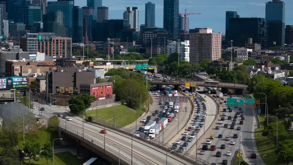
For a city looking to make its roads more efficient and reduce congestion, optimizing traffic signals can be low-hanging fruit, as it's becoming easier to make changes to timing or to set up dynamic lights that react to traffic conditions. Making sure those changes are made effectively, however, can be a challenge due to the lack of data, said Ted Trepanier, senior director of public sector services at INRIX.
"In the past, to get this level of information, cities would need Wi-Fi readers or Bluetooth readers. But that costs money and deployments are limited, so if I’m a city that has a thousand signals, I might be able to cover 200 signals at best, but usually it’s more like 50,” Trepanier said. "By getting this data from connected vehicles, we can get data anywhere. By assessing the whole system, you can see the places where you can focus some attention and make a real difference."
Trepanier said INRIX’s data set reflects a “representative sample” of cars on the road, and that it will only grow as consumers and cities adopt more connected vehicles. The broader analytics suite will also take advantage of the granularity from connected cars to give agencies more information about trips and routes, which can help with planning repair and improvement projects or determining where transit routes should go.
The signal analytics platform joins a trend of new tools to help cities better understand intersections. StreetLight Data, for example, offers data on how many and what type of users go through intersections, giving planners more information about pedestrians and bikers. San Diego and other cities have used smart streetlights to gather traffic and other environmental data, with an eye toward making roads more efficient.


