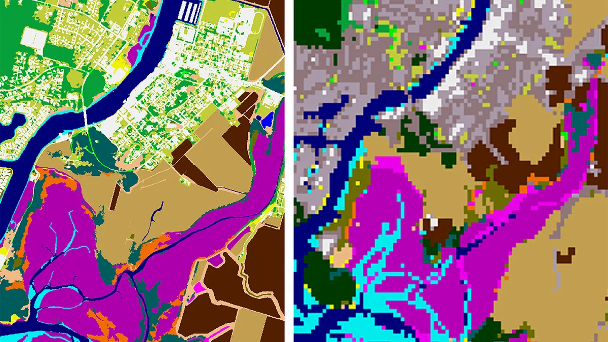
High-resolution land cover data is newly available for U.S. coastal communities through the National Oceanic and Atmospheric Administration, according to a Jan. 25 announcement from the agency.
This data, which shows geographic and landscape features on Earth’s surface, is the “backbone of key predictive models for sea level rise and stormwater management,” a NOAA press release says. It can be downloaded on NOAA’s Digital Coast website.
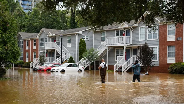
Communities can use the data to inform climate resilience measures such as sea-level-rise planning, wetland restoration projects and other activities that protect people from flooding, the agency said. Other applications include studying urban forestry, monitoring urban heat islands and understanding land use impacts.
The data — which provides map layers that focus on impervious surfaces, tree canopy and water features — shows land cover at a much higher resolution than NOAA could previously provide. Whereas the agency’s former product featured a 30-meter resolution, the new data has a one-meter resolution, making it 900 times more detailed. The data allows year-to-year comparisons that communities can use to document land cover changes over time.
“The higher resolution product is something local leaders have been asking about for years, but it is often prohibitively expensive for communities to acquire this type of data,” NOAA Administrator Rick Spinrad said in a statement.
NOAA was able to provide the new data with the help of $8 million allocated through the bipartisan infrastructure law. The agency said it used the money to purchase land cover data in bulk from the private sector, giving equal access to coastal communities that were previously unable to obtain these resources.


