Dive Brief:
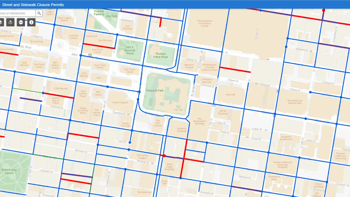
- The City of Philadelphia is giving residents real-time information about street and sidewalk closures through a public, online map launched this week.
- The map will display active and future closure permits, including everything from construction and utility work to temporary permits for parked moving trucks. The map includes detailed information on the permit requester, permitted time of closure and even comments from the city’s Streets Department.
- New permits will be added to the map within 30 minutes of approval, and the map itself will refresh every 30 minutes.
Dive Insight:
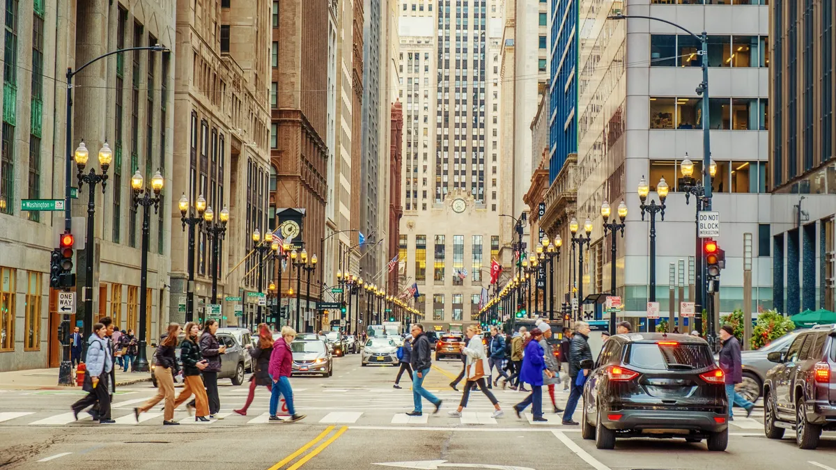
According to a city press release, the Streets Department processed more than 16,000 right of way permits during the 2018 fiscal year, seen as a positive economic sign. But all that activity can cause headaches for residents having to navigate closed streets and sidewalks. Permit information had previously been available only by contacting or visiting the Streets Department, but a 2017 law led to the creation of a public-facing map.
Councilmember Helen Gym, who authored that law, said in a statement that it will "help improve the safety and walkability of our city, and to hold sites accountable when they’re not following the rules."
According to the Philadelphia Inquirer, the city currently has six inspectors and two supervisors to do site visits. The hope is that the map can help the city understand where potential problems are, and give the public a tool to weigh in on companies not adhering to their permit rules.
It follows a trend of cities putting more information online and available for citizens to review, especially around transportation. Washington, DC has been logging and digitizing its more than 200,000 street signs to eliminate conflicting or confusing restrictions, and startup Mapillary is working with Amazon Rekognition to help other cities capture information on parking signs, which can be mapped for consumers. Sidewalk Labs offshoot Coord has also been using its platform to gather curb information, including parking spots and meters or designated drop-off zones.
As cities continue to grow — and more delivery and ride-hailing options lead to clogged curb space — more public information on where closures will be can help clear up congestion. Philadelphia has promised that its map will adapt to public input, and right-of-way unit chief Patrick Iffrig told the Inquirer that it could eventually include details on lane rerouting or where fencing would be installed, evolving out of a “real need to understand what’s going on.”


