Dive Brief:
- Emergency response technology firm RapidSOS announced the launch of Jurisdiction View, a new tool that enhances location data during 911 calls. The tool will be available to credentialed public safety agencies.
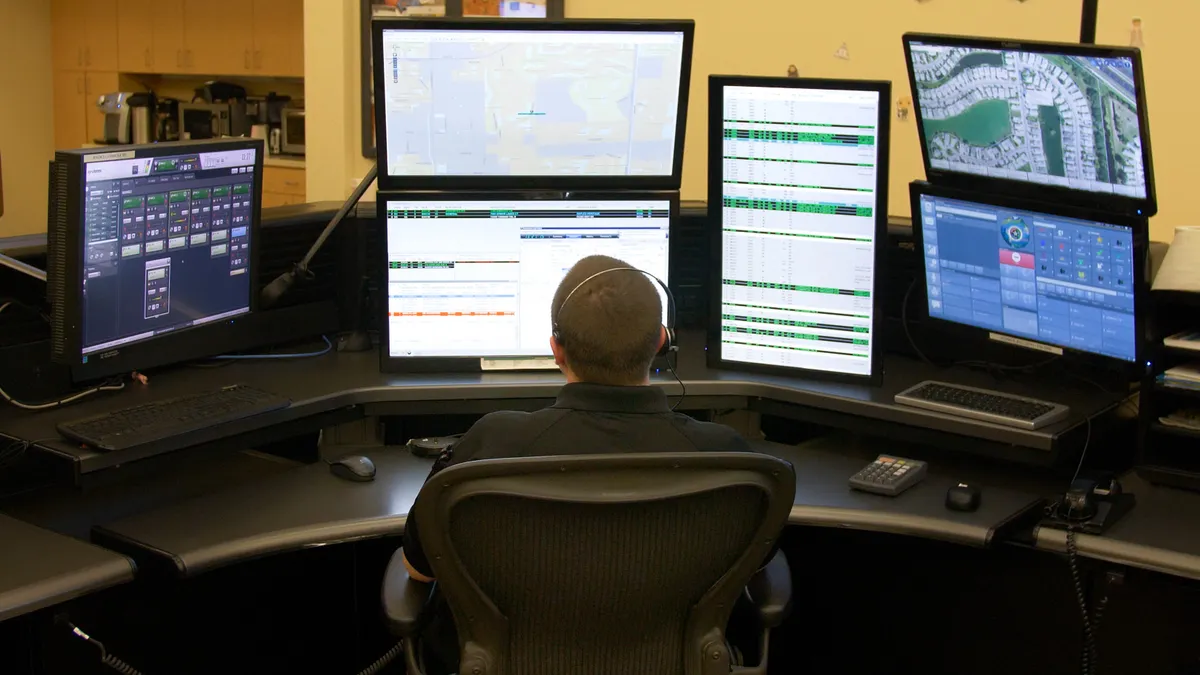
- The Jurisdiction View map automatically displays the location of wireless 911 calls, and updates based on device location if the caller moves. Public safety officials will also receive location data from connected vehicles, connected buildings, medical devices and partners like Uber.
- The additional data will help agencies "plan out their response more efficiently than ever before," according to a statement from RapidSOS Vice President of Public Safety Tom Guthrie. The location data can not only show where emergency clusters are happening, but give first responders more precise information about where to go without having to ask callers.
Dive Insight:
Public safety agencies have struggled in the transition to cell phones, since wireless calls do not come with precise location information, and dispatchers may have difficulty pinpointing where to direct first responders. Wireless carriers are working to improve location data, partly in response to rules from the Federal Communications Commission requiring more precise data, including for indoor calls.
RapidSOS has worked with public safety agencies to offer more accurate location data, often within 10 meters, with support from partners like Apple, Google and Uber. Jurisdiction View takes that to another level by organizing the data for dispatchers. It can, for example, show call clusters that sometimes signal a major emergency and allow dispatchers to prioritize and sort calls. The tool can even share location data before the call begins, giving agencies a head start to respond.
RapidSOS has piloted the service with a number of cities, including Chandler, AZ. Michelle Potts, a spokesperson for Chandler’s police department, said in an interview that the citywide view has helped improve "situational awareness" and has sped up response by cutting out the need to ask callers for locations. The tool has already helped the city track down victims they may otherwise not have reached due to a lack of data.
"We can see the caller moving, which we have not had historically, and we can start to make different decisions based on what we’re looking at," Potts said. "We can go to different views to get environmental cues …. that can help us make some different decisions."
Other startups have sought to update emergency response, including Smart911, which allows users to share information in advance to police and fire departments, and ShotSpotter, which uses audio sensors to detect gunshots and direct police to the location of a possible crime. Although there can be concerns about sharing location data, especially with governments, Potts said there have been no citizen complaints in Chandler.
"There’s been an assumption for years that we’ve already had this technology," she said, "so maybe we have to shift our messaging now that we actually have it."


