Dive Brief:
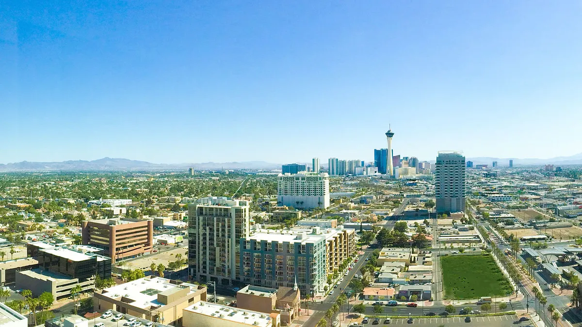
- The Regional Transportation Commission of Southern Nevada (RTC) will expand an ongoing pilot of Nexar’s CityStream, which collects data from smartphones in vehicles, to track the real-time impact of construction zones. The tool has been used in a three-square-mile area around downtown Las Vegas, and will be expanded and extended, the RTC announced.
- Nexar’s CityStream platform records data about traffic slowdowns and accidents based on a smartphone’s camera, accelerometer and gyroscope. RTC uses that data to record real-time information about construction zone locations, how drivers are reacting to lane and street closures, and to determine permit compliance for construction sites.
- RTC will present information about the Seeing Orange pilot at the "Work Zone of the Future" event on April 10 in Las Vegas.
Dive Insight:
With construction zones sometimes changing on a daily basis, it can be difficult for city overseers to keep track and know how traffic patterns will be affected. Even with permitting records that should indicate where roads are under construction, cities may not know real-time conditions or how unexpected conditions are affecting cars, bikes and pedestrians.
Enter Nexar. The Israeli company’s CityStream platform and connected cars data has been linked to a 24% reduction in accidents in other smaller pilots, and is meant to give cities insights into where congestion is occurring and where road conditions may be unsafe. RTC’s pilot has already gathered thousands of updates per day on hundreds of traffic cones. In a press release, RTC said it plans to expand the pilot to gather more data, automate the flow of data and streamline construction permit management, especially amid a construction boom in the Las Vegas area.
"The first step is knowing in real-time where cones are and how they are affecting traffic," said RTC CEO Tina Quigley in a press release. "Then, we can look at what actions can be taken to improve traffic flows – whether its enforcement of permits, more public information, changes to traffic signal timing, or incorporating new traffic control and safety measures – all with the goal of improving commutes."
Las Vegas has shown a willingness to test traffic management tools, including a network of sensors and cameras concentrated downtown and working with the startup WayCare on a program to predict accidents. As more real-time management tools come online, cities are using them to notify drivers of potential delays. For example, Philadelphia recently rolled out a real-time map of street closures and future permits to help advise on possible delays.


