
Repairing sewer lines? Inspecting a construction permit? Clearing snowbound streets? There’s an app for that. Mobile apps can be used in nearly every part of city life. They bring location intelligence into the field via everyday devices that help community workers meet the needs of the city. They also plug commuters into the city’s transportation systems allowing them to choose the best routes to get to work on time.
A geographic information system (GIS) is a framework used by smart cities to support their services, safety, and planning. It manages data and transforms it into location intelligence. Users can visualize data via a map and use GIS tools to make faster, more informed decisions. This has vast implications for city mobility. In fact, smart cities around the world are exploiting these capabilities with mobile technologies that tap location-based data and make it available anywhere on any device.
City Services
Auckland, NZ, uses GIS throughout the city. Departments put all their data into a geospatial database for everyone to use. By accessing that information, mobile apps make it useful for every segment in the lifecycle of city projects. Auckland engineers click a web map to see the transportation service’s inventory of road projects and note whether it is time to upgrade a section of streetlights. They use GIS to highlight these sections and notify the public works department. A dispatcher receives the map, creates a digital work order, and sends it to a work crew. The crew manager receives the order on a tablet mounted in his truck and heads to the worksite. At the office, the dispatcher follows the current location of the crew’s manager and monitors the job status on a real-time map. When the task is done, the crew manager clicks ‘completed’ on the mobile app and the work order’s status instantly appears on the dispatcher’s map. Mobile GIS ensures that work is prioritized, crews are routed efficiently, and verifies, in real-time, that the task has been met.
Disaster management
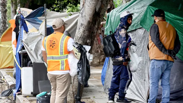
The city of Boston, MA, uses GIS for location-based situational awareness. It keeps public safety officials informed about what's happening on the ground during a special event, such as the city’s famous marathon. The tool enables officials to track on a live map operational information such as the deployment status of police, fire, and emergency medical services resources. The operations map also shows video feeds from camera locations, road closures, and traffic control activity. Event security, responders and other public safety personnel stay connected, access, and share information using mobile devices.
 Boston’s mobile app let’s citizens know where and how road safety is at risk.
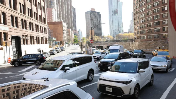
Traffic Control
The city of Los Angeles is easing its traffic woes by making the LA Metro transportation system services more accessible via mobile apps. Citizens can see where light rail connects to busses and where they can find a metro bicycle.
Connected cars now have ITS (intelligent transportation system) that link to city systems via the Internet of Things (IOT). These mobile apps talk to traffic lights to coordinate traffic flow. Drivers use them to locate the nearest parking spaces; and will soon connect to homes to activate lighting systems and climate controls.
Mobility and location are critical dimensions of the smart technology story. Esri, the world leader in GIS and spatial analytics, helps cities everywhere bring their data to life. Esri builds GIS technology for smart communities that want to improve all aspects of urban life.
A good follow-up resource about GIS mobile is the Esri Smart City Guide. Check it out at esri.com/smart-communities.