Connected-vehicles are an amazing source of traffic data which can be used to generate transportation insights to more efficiently move residents and commercial goods, implement and effectively manage traffic calming and road improvement projects, and proactively deploy first responders. Las Vegas is gaining valuable insights from the billions of points of data collected from the thousands of vehicles on the roads daily in Las Vegas and Clark County. The resulting analytics equip traffic engineers to identify challenges with intersection and corridor performance, and ultimately provide solutions to deficiencies.
The Las Vegas challenge
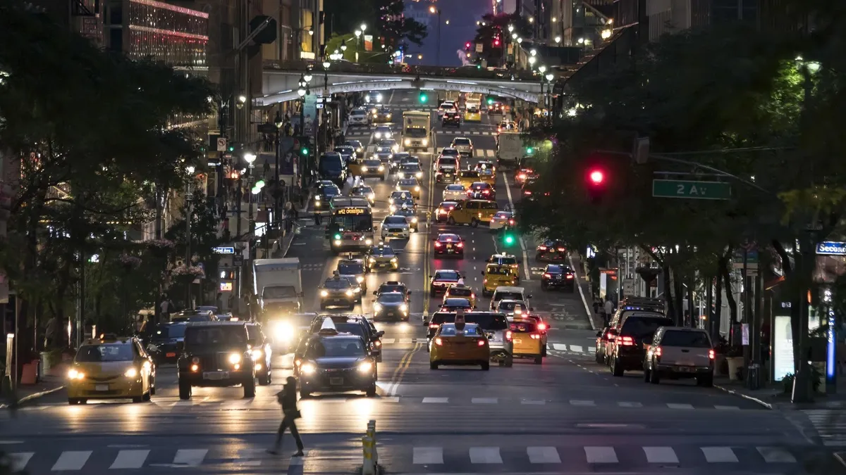
The region is home to 2.3 million people and is growing exponentially. Combined with the fact that Las Vegas welcomes over 42 million tourists per year, it’s easy to see why Las Vegas continues to have significant road surface congestion.
According to a study conducted by TRIP the rapidly growing population struggles with traffic congestion, resulting in an average of over $2600 per year per driver in lost wages, collisions, increased fuel consumption, and wear and tear. On a broader scale the region has to deal with increased vehicular emissions, greenhouse gases, and atmospheric particulate. The economic impact costs billions of dollars due to delays, increased insurance costs, employee health and wellness, fuel costs and even business relocation due to inefficient travel.
Data-driven intersection insights
As a smart city leader, Las Vegas invests in a wide range of smart solutions. The city has placed significant priority on investing in Intelligent Transportation Systems (ITS) to improve efficiencies and safety, on the roads throughout the region. Geotab, Waycare and the Regional Transportation Commission of Southern Nevada (RTC) have partnered to leverage data-driven insights to build a next generation transportation network.
It is increasingly being exposed that gaps exist in the reliance on traditional traffic simulation tools which are currently used to gauge the functionality of traffic signal infrastructure. Traditional data collection methods do not adequately capture statistical variations in vehicle speeds on monitored roadways. The Geotab/RTC initiative works with existing signal system data in combination with Geotab connected vehicles data inputs to help paint a much clearer picture of inefficiencies in real-time .
On a more granular level, Geotab generated insights are providing clarity into variables such as stop times, queue lengths, signal cycles per queue, corridor travel times and stop propensity. All of these metrics are processed against time of day to find answers to optimize signal phase changes across the Las Vegas road network.
The analysis is focused on key learning to provide solutions resulting in optimal throughput. The resulting insights are helping engineers set goals for the maximum amount of stops to clear an intersection. Also, in some instances, the data is provoking consideration into increasing turning lane capacity to help expedite movement though congested intersections. Using the data provided, RTC can perform various analyses across its traffic network and identify priority intersections for improvements.
The potential variations of data and subsequent analysis is vast. RTC traffic engineers and decision makers have quickly capitalized on the ability to collect such large amounts of hyperlocal data from a Geotab connected fleet and input into Waycare’s traffic management platform. The expectation amongst the partners is that this initiative will produce valuable solutions to real-time problems. Those answers will be reflected in needed improvements. The end results will surely motivate investment in changes and ultimately a more efficient and safe transportation network in Las Vegas.

